

Map of Rawai Beach
This map of Rawai Beach shows the main landmarks, restaurants and points of interest around the southern tip of Phuket. Rawai is not a swimming beach. The water is shallow and full of longtail boats, which is exactly why people love it. This is where locals and long-term residents come to eat seafood, catch a boat to the nearby islands, or just enjoy the relaxed atmosphere away from the tourist beaches. The map below covers the main areas from west to east.
Rawai Beachfront and Seafood Market
The beachfront road is what most people picture when they think of Rawai. Longtail boats line the shore, and a row of seafood restaurants faces the sea. At the eastern end of this road is the Rawai Seafood Market, where you can buy fresh fish, prawns, lobster and crab from the vendors and have it cooked at one of the restaurants behind the stalls. This is one of the most popular dining experiences in southern Phuket and draws visitors from all over the island. The Sea Gypsy Village (Chao Lay) is at the far eastern end of the beachfront, one of the oldest communities in Phuket.
Rawai Town and Saiyuan Road
Saiyuan Road runs inland from the beachfront and is the main road through Rawai. This is where you will find most of the everyday services: supermarkets, pharmacies, gyms, cafes, Thai restaurants and a growing number of international eateries. Rawai has become popular with expats and long-stay visitors, so the range of restaurants and shops is much wider than you might expect for a beach area with no actual swimming beach. The road connects Rawai to Nai Harn Beach further south.
Rawai Pier and Island Boats
Rawai is the main departure point for longtail boat trips to the small islands off the southern tip of Phuket. From the pier area, you can hire a boat to Coral Island (Koh Hae), Racha Island, Koh Bon and Koh Lone. Prices are usually negotiated directly with the boat drivers along the beachfront. During high season, boats leave throughout the day. This is a more local, less packaged alternative to booking an organised tour from Chalong Pier.
Promthep Cape and the Southern Tip
The road from Rawai continues south past Windmill Viewpoint to Promthep Cape, the most famous sunset viewpoint in Phuket. The cape is a short drive from the Rawai beachfront, and many visitors combine a seafood dinner at Rawai with a sunset at Promthep. The road between the two also passes the Rawai Muay Thai area, where several well-known boxing gyms are located.
Getting Around Rawai
The Rawai beachfront road is about one kilometre long and easy to walk. Saiyuan Road stretches further inland, so a scooter or car is useful for reaching restaurants and shops away from the seafront. Rawai connects to Chalong to the north and Nai Harn to the southwest, both about 5 to 10 minutes by road. There is no public transport in Rawai.
Rawai Beach Hotels on Map
3 Popular Hotels in Rawai
3-star hotel - Score: 9.2 Distance from beach: 150 m | 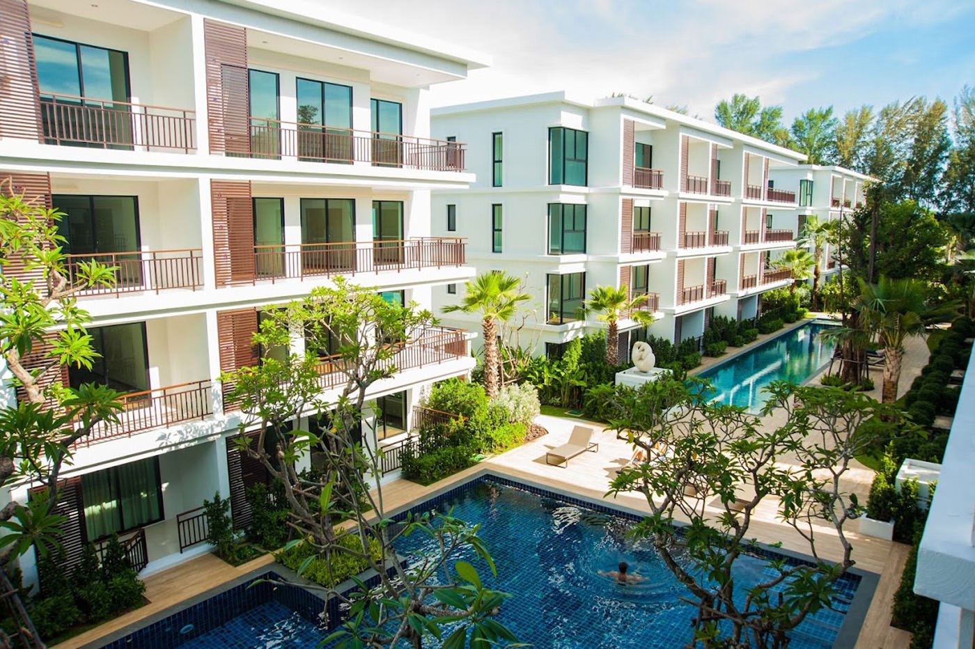
3-star hotel - Score: 9.2 Distance from beach: beachfront | 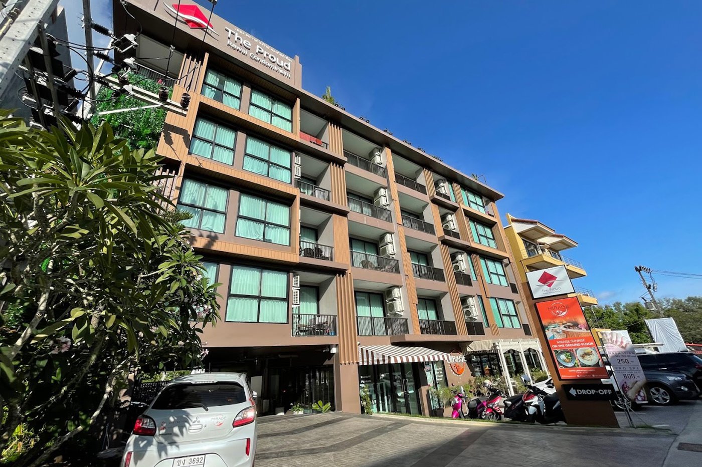
4-star hotel - Score: 8.4 Distance from beach: 250 m |
Your Rawai Travel Guide

More Maps of Phuket by Beaches
