

Map of Kamala Beach
This map of Kamala Beach shows the restaurants, shops and landmarks we know from years of visiting the area. Kamala has changed a lot over the past decade, with new beach clubs, restaurants and luxury developments, but the village centre still feels like a local Thai town rather than a tourist strip. The map below covers four main areas worth knowing about.
Kamala Village
The village is set back from the beach along the main road running through Kamala. This is where locals live and shop, and where you will find the best value restaurants, small Thai eateries, convenience stores, a few tailors and massage shops. The Kamala Friday Market takes place here and is worth a visit for street food and local produce. The village has a relaxed, unhurried feel compared to Patong, which is part of the appeal for travellers who choose Kamala.
Kamala Beachfront
The beachfront road runs along the southern half of the beach with a row of restaurants and bars facing the sea. During high season, the beach is lined with sun loungers and umbrella rentals. The southern end is where most of the activity is, while the northern half of the beach is noticeably quieter with fewer services. A handful of beachfront hotels sit along this stretch, making it the most convenient area if you want to walk straight onto the sand.
South Kamala and the Hillside
The southern end of Kamala climbs into the hills towards Patong. This is where you will find some of Kamala’s most upscale developments, including the Millionaires’ Mile area with luxury pool villas overlooking the Andaman Sea. Cafe del Mar and other beach clubs are located along this stretch. If you are staying up on the hillside, you will need transport to reach the beach and village.
North Kamala towards Laypang
The northern end of Kamala is the quietest part, stretching towards Laypang and eventually connecting to Surin Beach over the headland. The Phuket FantaSea entertainment complex is located just off the main road in this area. There are fewer restaurants and shops here, but a growing number of hotels and condominiums have appeared in recent years. The beach at the northern end is often emptier than the centre, which suits travellers looking for a quiet spot.
Getting Around Kamala
Kamala Beach is about one kilometre long, so walking from one end to the other takes around 15 minutes along the beachfront. The village is a short walk inland from the centre of the beach. For trips to nearby beaches, Patong is about 10 minutes south by car, and Surin is roughly 10 minutes north. Songthaews (shared minibuses) run between Kamala and Patong during the day. Most visitors rent a scooter or use taxi apps to get around.
3 Popular Hotels in Kamala
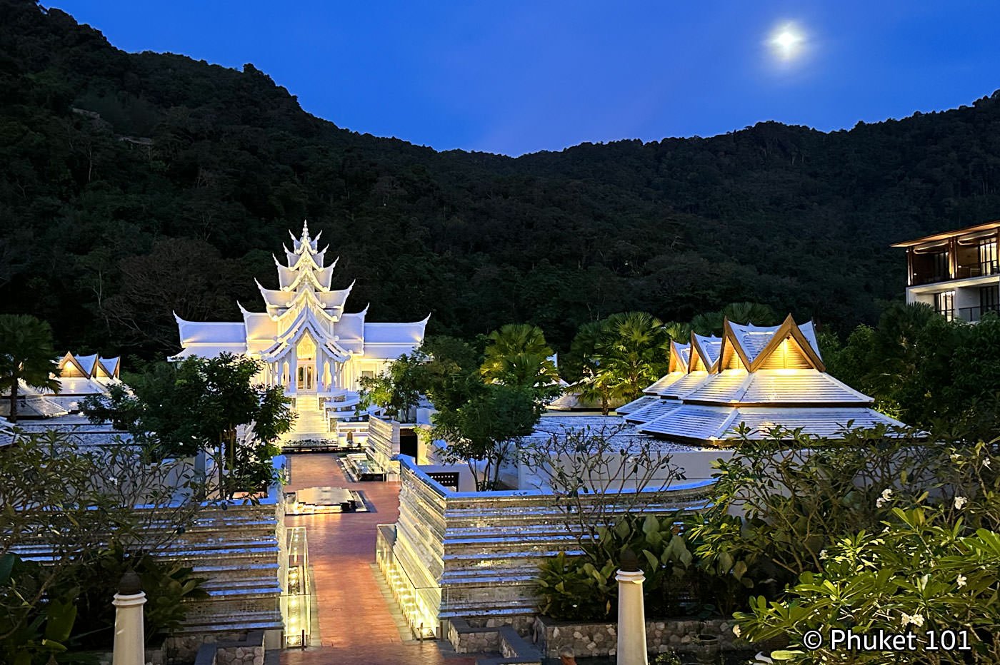
5-star hotel - Score: 9 Distance from the Beach: on the beach | 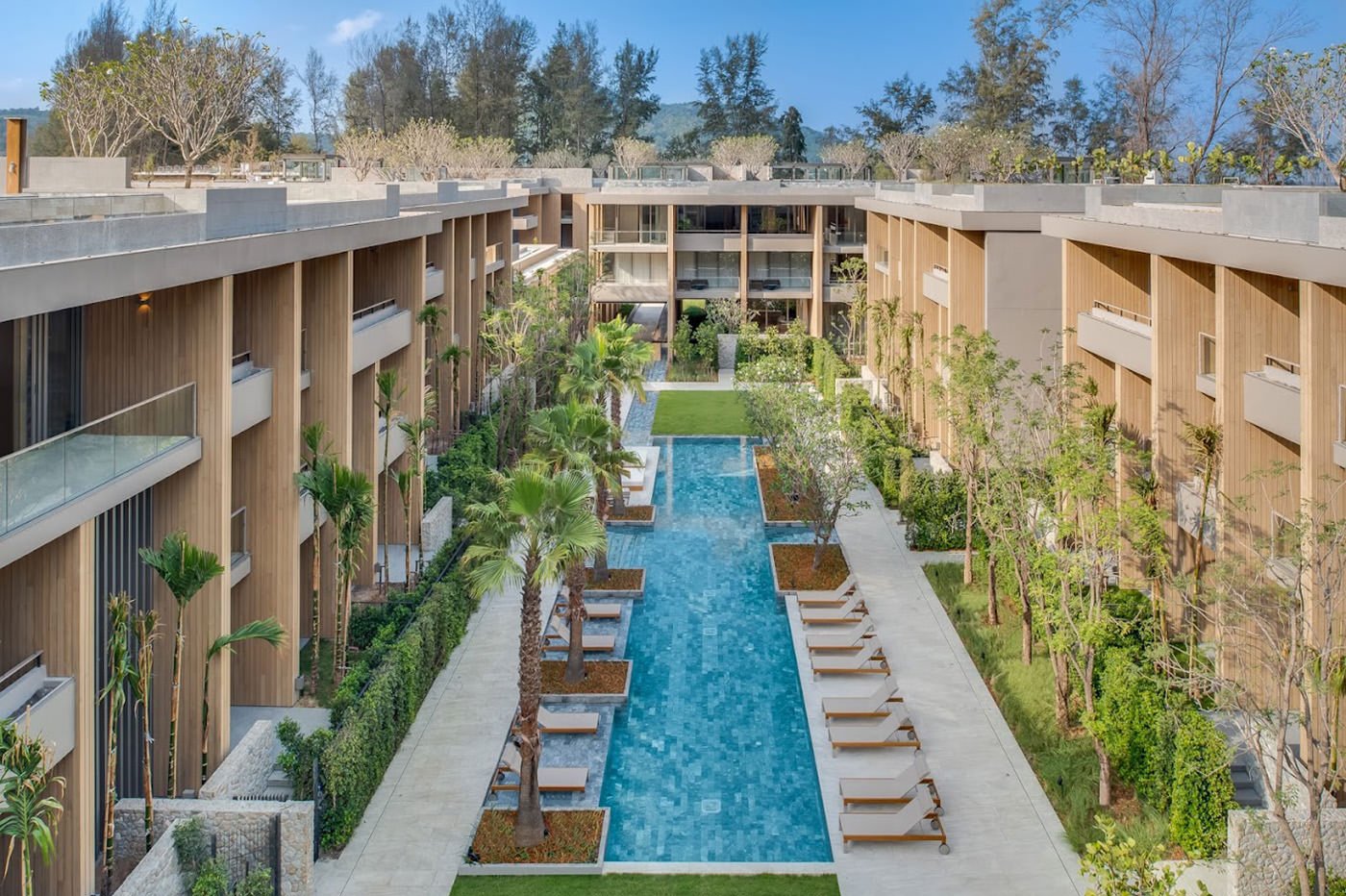
5-star hotel - Score: 9.1 Distance from the Beach: on the beach | 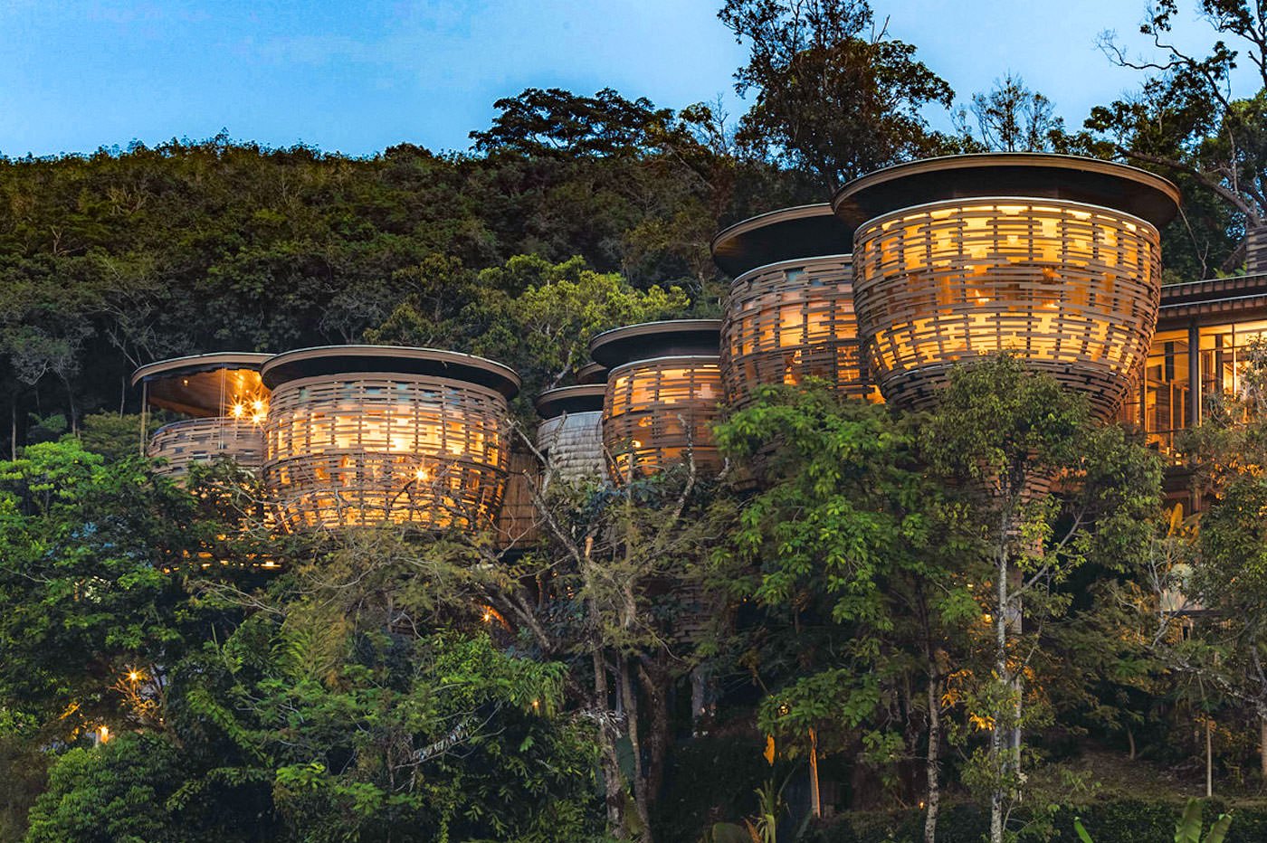
5-star hotel - Score: 9 Distance from the Beach: 3 km |
Hotels in Kamala Beach on a Map
Your Kamala Beach Travel Guide

More Maps of Phuket by Beaches
